showing a city through time
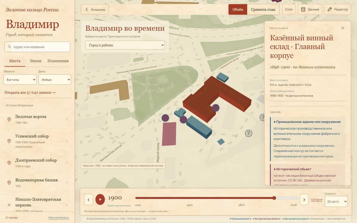
a historical atlas of Vladimir: dates, geometry and sources.
01
question
how can a fast timeline preserve the distinction between a known date and an assumption?
02
method
i compiled an object registry, vector tiles and a temporal index. construction, loss, commissioning and sources are stored separately. undated objects remain optional modern reference features.
03
findings
the 10 November 2026 build contains 57,042 records, 19,905 building outlines, dates for 3,503 buildings and 38 road segments. opening the map does not fetch the whole registry. the timeline works in both directions.
04
limitations
the historical street network is incomplete. demolished buildings without verified outlines do not receive invented volumes. animation represents a change of state, not construction duration. the atlas remains in development.
sources and materials
findings apply to the stated version and dates. original reports are preserved; the linked evidence summary records scope and limitations.